
Investigating the Legacy of Redlining on Urban Heat: A GIS and ENVI-met Simulation Study
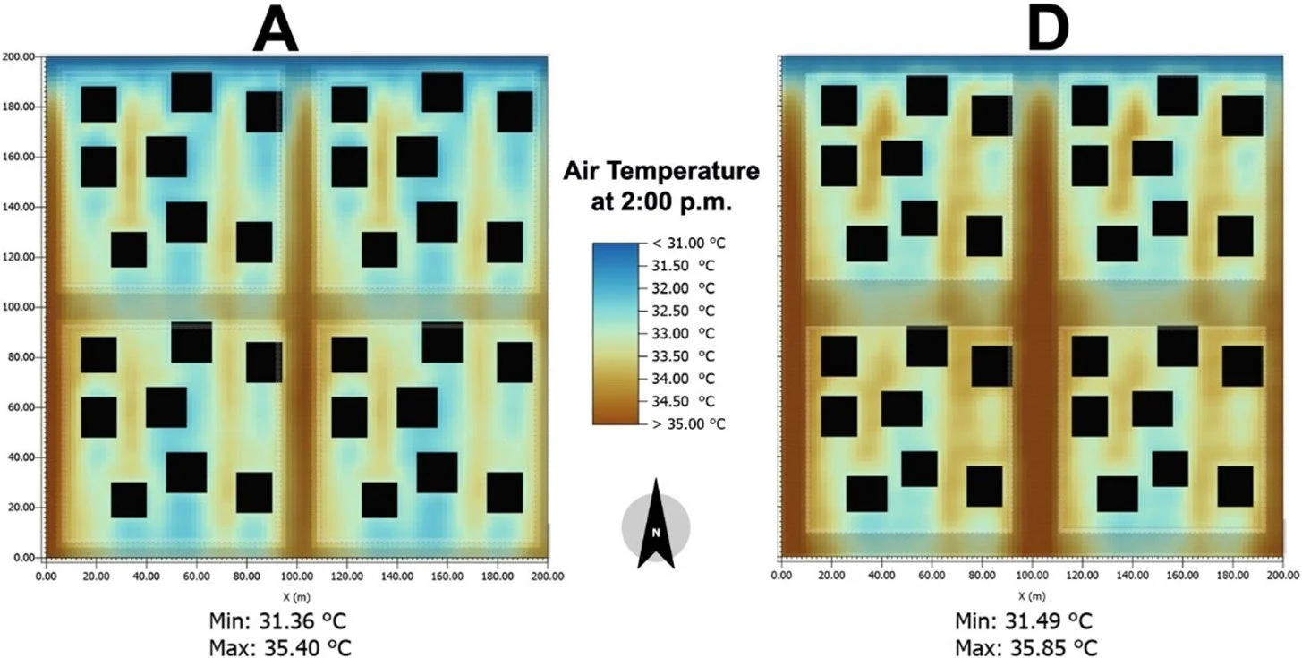
This study examines the enduring impact of historical redlining on urban heat and outdoor thermal comfort in San Antonio, TX. Leveraging Geographic Information Systems (GIS), Local Climate Zones (LCZ), and ENVI-met microclimate simulations, the research reveals a stark disparity: formerly redlined neighborhoods experience significantly higher temperatures and lower outdoor comfort compared to affluent, historically “A-rated” areas.
These differences are driven by unequal distributions of vegetation, tree canopy, and impervious surfaces. The findings underscore how past discriminatory housing policies continue to shape present-day environmental conditions—amplifying heat exposure and vulnerability in marginalized communities.
This work calls attention to the urgent need for equitable urban planning and climate adaptation strategies to mitigate heat-related risks where they are most deeply rooted.