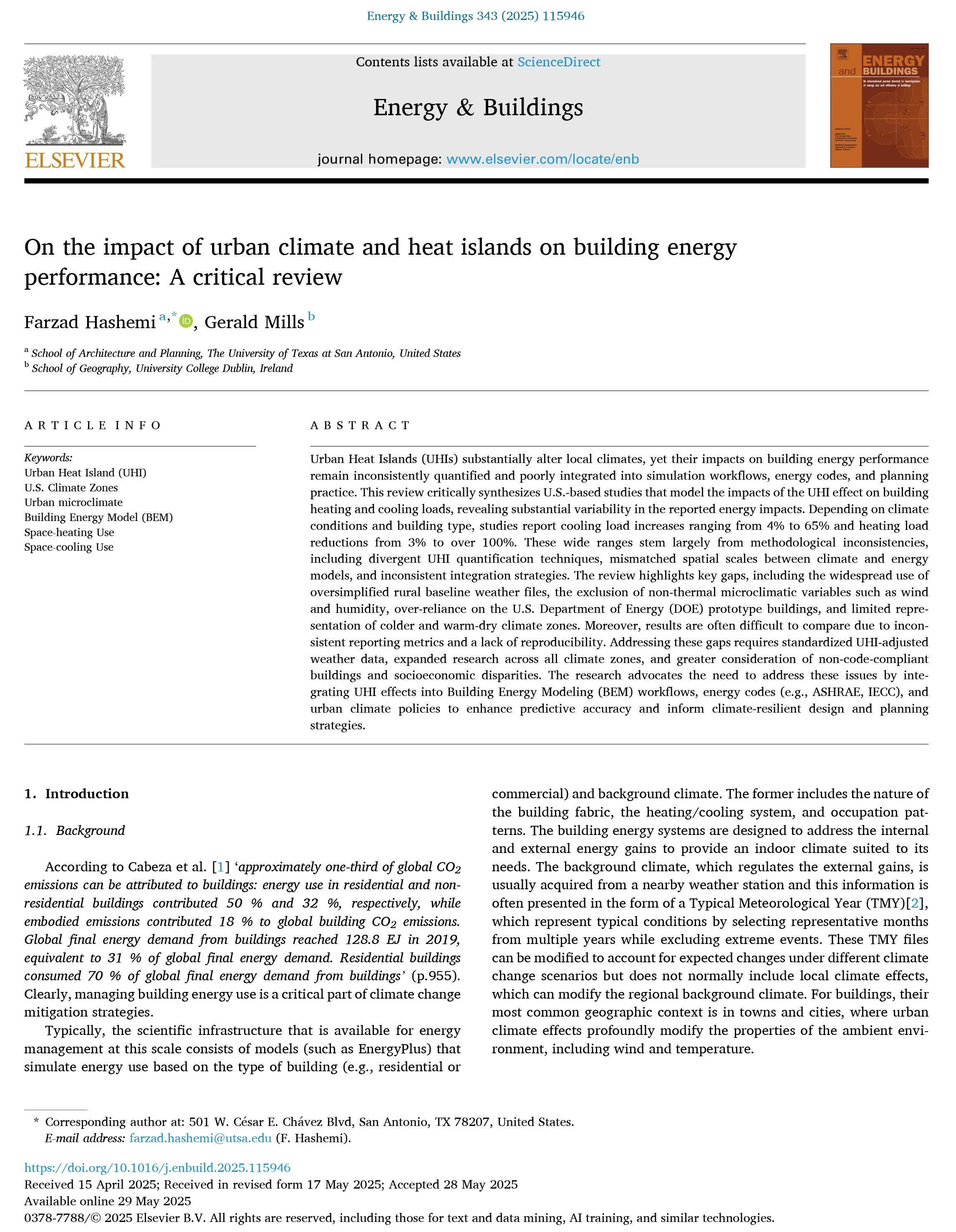
On the impact of urban climate and heat islands on building energy performance: A critical review
Farzad Hashemi, Gerald Mills
Published in Energy and Buildings, Volume 343, May 2025
DOI: https://doi.org/https://doi.org/10.1016/j.enbuild.2025.115946
In this study, we tackle a simple but very important question: How well are Urban Heat Island (UHI) effects being integrated into Building Energy Models (BEM)? Our review of U.S.-based studies offers a roadmap for better coupling urban climate science with building performance simulation.
A novel parametric workflow for simulating urban heat island effects on residential building energy use: Coupling local climate zones with the urban weather generator—a case study of seven U.S. cities
Farzad Hashemi, Gerald Mills, Ute Poerschke, Lisa Domenica Iulo, Gregory Pavlak, Loukas Kalisperis
Published in Sustainable Cities and Society, Volume 110, July 2024, Article 105568
DOI: 10.1016/j.scs.2024.105568.
This paper presents a novel parametric methodology that combines Local Climate Zones (LCZs) with the Urban Weather Generator (UWG) to simulate urban heat island (UHI) impacts on building energy use. Using seven U.S. cities as case studies, the workflow produces UHI-adjusted weather files tailored to urban morphology and land cover conditions, enabling more accurate estimates of residential heating and cooling demands.
Examining thermal inequities: Land surface temperature, social vulnerability, and historical redlining in San Antonio, TX
Farzad Hashemi, Mahsa Adib
Published in Urban Climate, Volume 55, July 2024, Article 101960
DOI: 10.1016/j.uclim.2024.101960
This study investigates the intersection of extreme heat exposure and socio-spatial inequality in San Antonio, TX. By analyzing Land Surface Temperature (LST), Normalized Difference Vegetation Index (NDVI), and Social Vulnerability Index (SVI) across two historically distinct census tracts—one redlined and one ‘A-best’—the authors identify consistent thermal disparities tied to historical discrimination. Findings reveal that redlined areas experience higher mean and peak LSTs, exacerbated by lower vegetation cover and poor housing conditions, emphasizing the lasting imprint of racialized urban planning on present-day heat vulnerability.
The impact of the urban heat island and future climate on urban building energy use in a Midwestern U.S. neighborhood
Farzad Hashemi, Parisa Najafian, Negar Salahi, Sedigheh Ghiasi, Ulrike Passe
Published in Energies, Volume 28, March 2025, Article 1474
DOI: 10.3390/en18061474
This article examines the combined effects of the Urban Heat Island (UHI) and future climate change on residential building energy use in Des Moines, Iowa. Using the Urban Weather Generator (UWG) and CCWorldWeatherGen, the study generates microclimate-adjusted future weather files for 2050 and 2080 and integrates them into Urban Building Energy Modeling (UBEM) via the Urban Modeling Interface (UMI).
Comparative analysis of urban heat island effects on building energy consumption in the U.S. Midwest: A combined workflow using Urban Weather Generator and future Typical Meteorological Year climate scenarios
Farzad Hashemi, Negar Salahi, Sedigheh Ghiasi, Ulrike Passe
Presented at PLEA 2024 Wrocław: (Re)thinking Resilience, Wrocław, Poland, June 2024
This article examines the combined effects of the Urban Heat Island (UHI) and future climate change on residential building energy use in Des Moines, Iowa. Using the Urban Weather Generator (UWG) and CCWorldWeatherGen, the study generates microclimate-adjusted future weather files for 2050 and 2080 and integrates them into Urban Building Energy Modeling (UBEM) via the Urban Modeling Interface (UMI).
JOURNAL PAPERS
Investigating the legacy of redlining on urban heat: A GIS and ENVI-met simulation study
Farzad Hashemi, Parisa Najafian, Zahra Khashei
Presented at ARCC 2025: Emerging Challenges—Technological, Environmental, Social, Spring 2025, College Park, MD
This study explores the long-term thermal consequences of historical redlining policies in San Antonio, TX, by comparing neighborhood-scale differences in urban form and heat exposure. Using GIS-based analysis and ENVI-met simulations, the research quantifies how redlined zones—characterized by greater impervious surfaces and limited greenery—consistently exhibit higher air temperatures than “A-Best” areas.


